
Logistics & Transportation
We DO RAIL in Dumas!
LOGISTICS & TRANSPORTATION
At the center of a continent-spanning corridor
The Dumas region is readily connected to the global marketplace with multi-directional rail and highway infrastructure. Its strategic central U.S. location is ideal for serving as a transportation and distribution center to all points — whether you need to move product regionally, nationally, or globally.
Located just 45 minutes north of Interstate 40 along US 287 and US 87, Dumas sits at the heart of the Ports-to-Plains Trade Corridor — the fastest growing trade corridor in the United States — a multimodal system linking Mexico through West Texas, Colorado, and into Canada and the Pacific Northwest.
US 87 & 287
BNSF Rail
I-40 — 45 min south
Rail-served sites
Trans-load facilities
Ports-to-Plains Corridor
Texas Northwest short line
HIGHWAY INFRASTRUCTURE
Four-lane access in every direction
Dumas is served by two major four-lane US highways — US 287 running north-south and US 87 running diagonally — both part of the Ports-to-Plains Trade Corridor. The corridor is a multi-state, international effort connecting Mexico through West Texas, New Mexico, Oklahoma, Colorado, and into Canada via the Theodore Roosevelt Expressway.
Interstate 40, the major east-west transcontinental route, is just 45 minutes south of Dumas. US 54, another significant east-west corridor, runs just 30 miles to the north — giving Dumas rare four-directional highway access from a single location.
Ports-to-Plains Corridor
The fastest growing trade corridor in the U.S. — connecting Mexico to Canada through Dumas on multilane divided highways.

East-West Access
I-40 (45 min south) and US 54 (30 miles north) provide major east-west distribution routes.

RAIL SERVICE
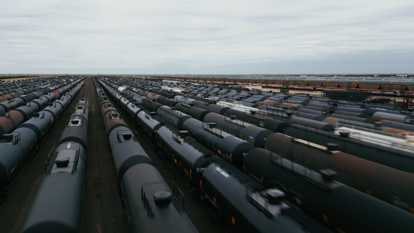
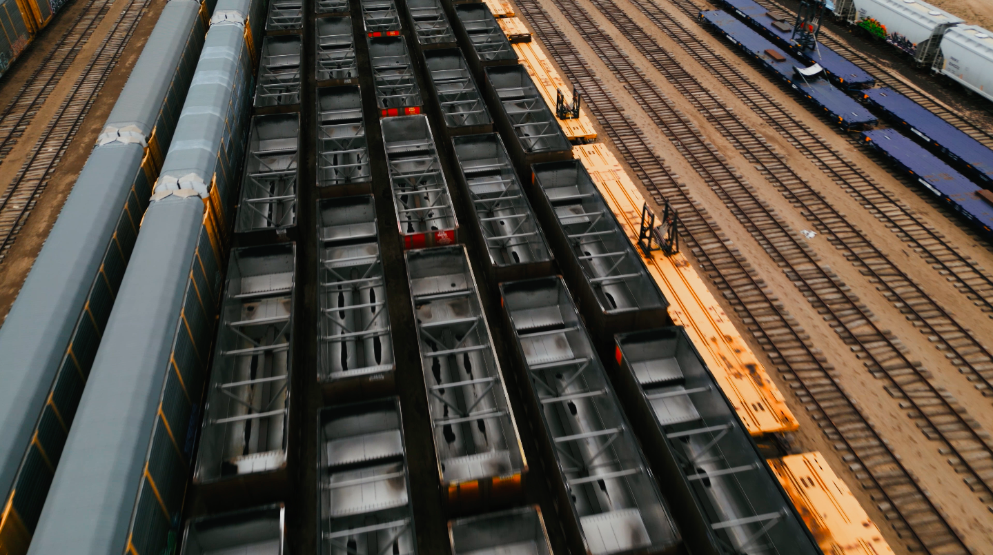
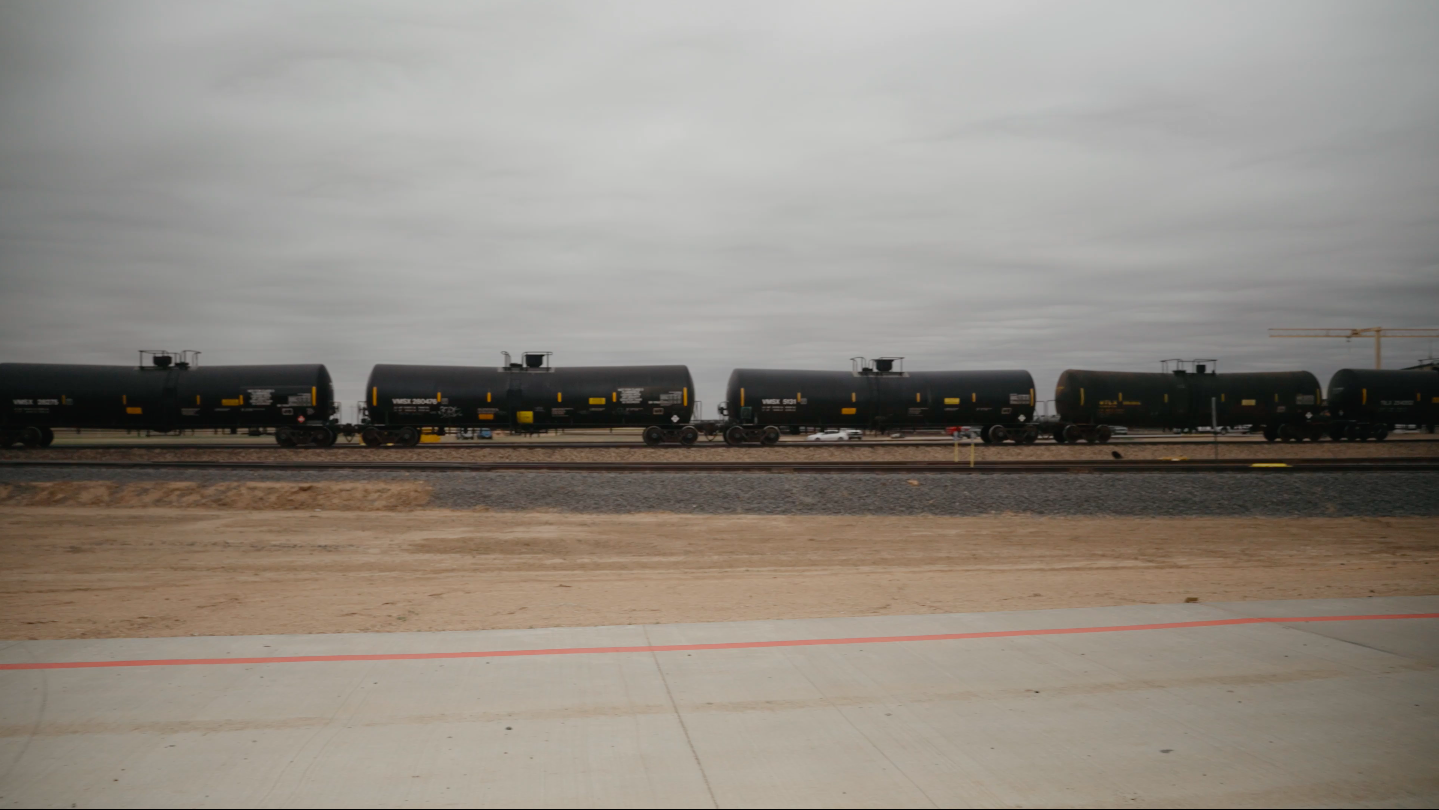
One of the top short line systems in the BNSF network
The Dumas region is readily connected to the global marketplace with multi-directional rail and highway infrastructure. Its strategic central U.S. location is ideal for serving as a transportation and distribution center to all points — whether you need to move product regionally, nationally, or globally.
Located just 45 minutes north of Interstate 40 along US 287 and US 87, Dumas sits at the heart of the Ports-to-Plains Trade Corridor — the fastest growing trade corridor in the United States — a multimodal system linking Mexico through West Texas, Colorado, and into Canada and the Pacific Northwest.
BNSF mainline access
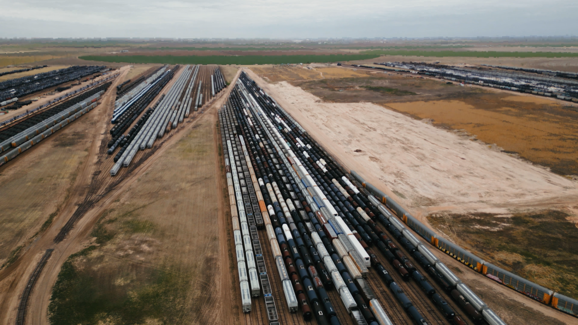
6,000-car train system
Trans-load facilities
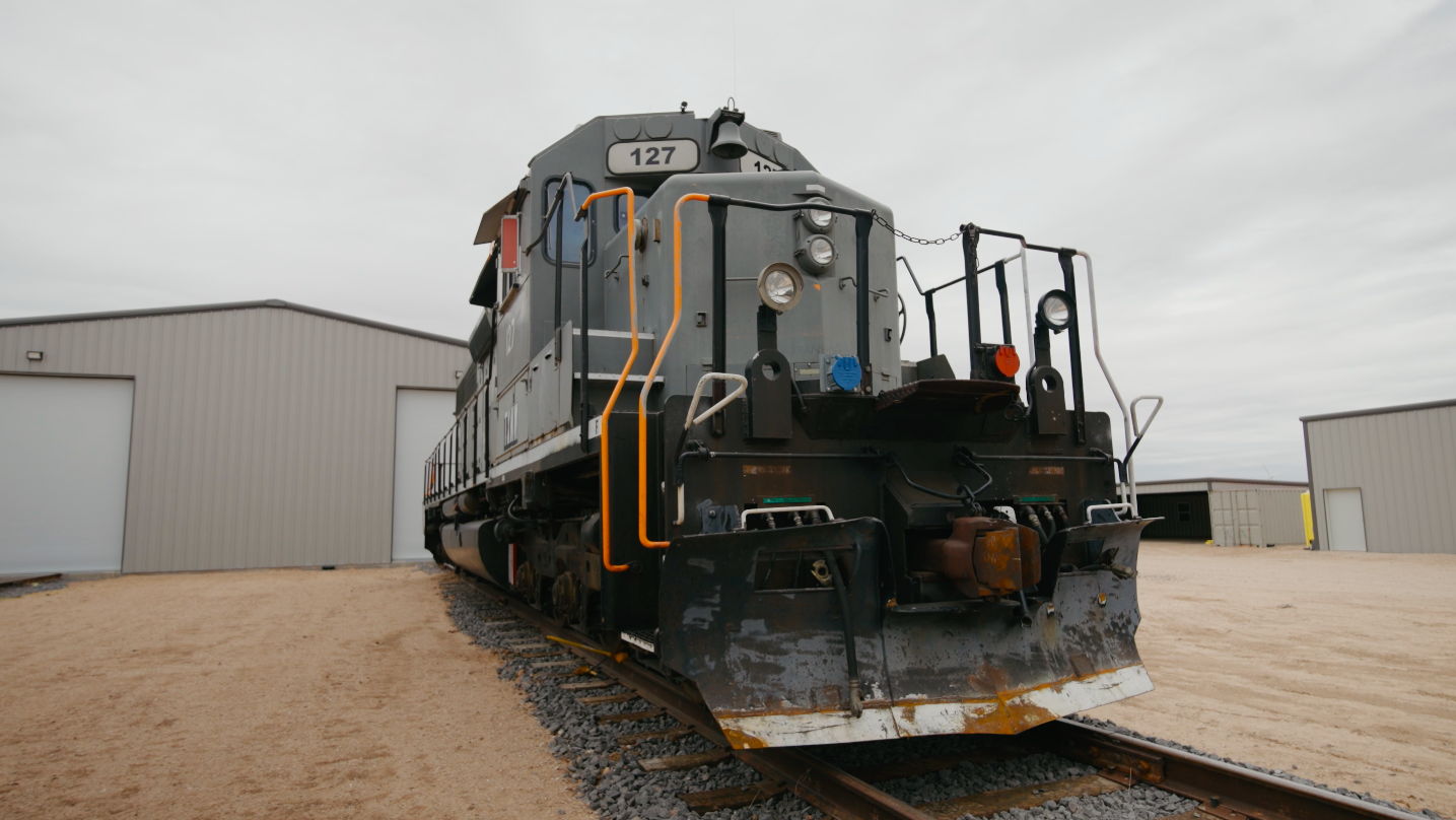
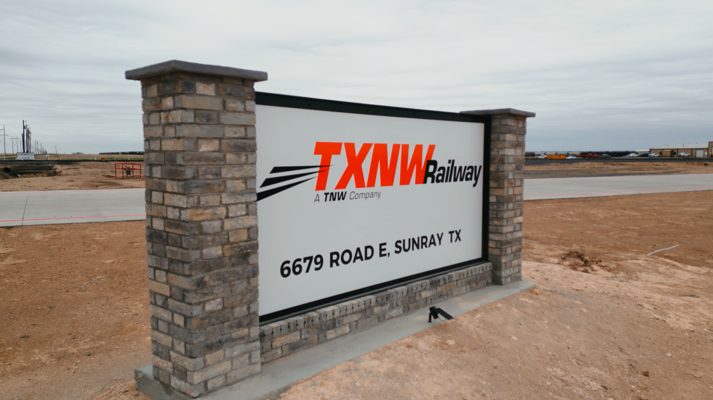
Texas Northwest short line
Rail-served sites available
Rail & site resources
MARKET ACCESS
How far is Dumas from your market?
Dumas' central location puts major Texas markets — and regional distribution points — within a day's drive. Amarillo International Airport, 47 miles south, offers daily service from United, American, Southwest, and Delta.
Amarillo, TX — 47 mi
Lubbock, TX — 169 mi
Wichita Falls, TX — 272 mi
San Angelo, TX — 346 mi
Fort Worth, TX — 387 m
Dallas, TX — 410 mi
El Paso, TX — 462 mi
Waco, TX — 474 mi
Austin, TX — 529 mi
San Antonio, TX — 553 mi
Houston, TX — 649 mi
Corpus Christi, TX — 697 mi
Amarillo International Airport
47 miles south of Dumas. Daily flights to Dallas, Houston, Denver, and Las Vegas via United, American, Southwest, and Delta.

Moore County Regional Airport
2 miles west of Dumas. 6,000-foot runway, jet fuel, on-site mechanic, and Aviation Business Park with available hangar space.

Need rail-served sites or distribution data?
Dumas EDC can provide customized transportation and logistics data for your site selection process.